Studies
The Spatial Design Laboratory is conducting the following research in 2025.


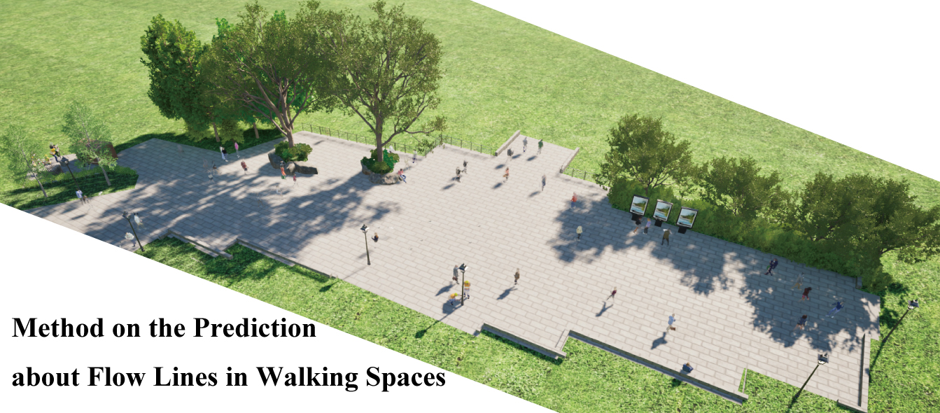
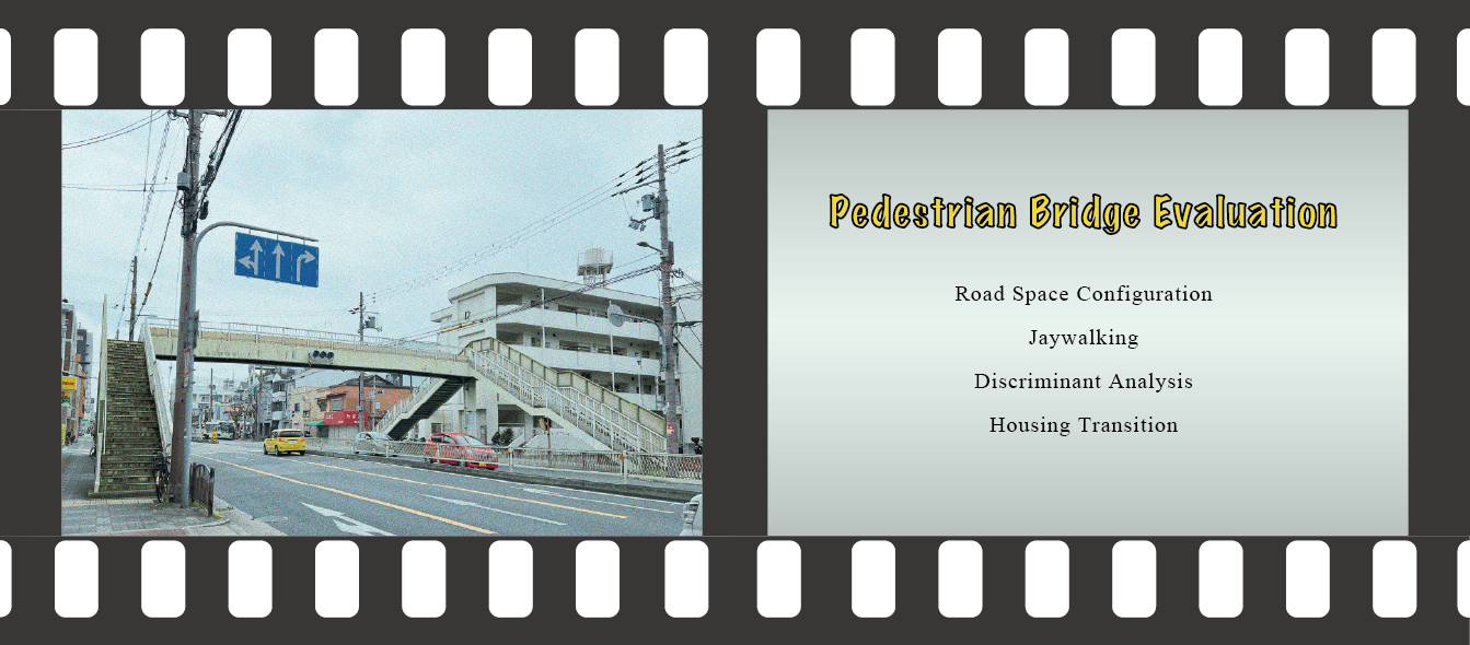
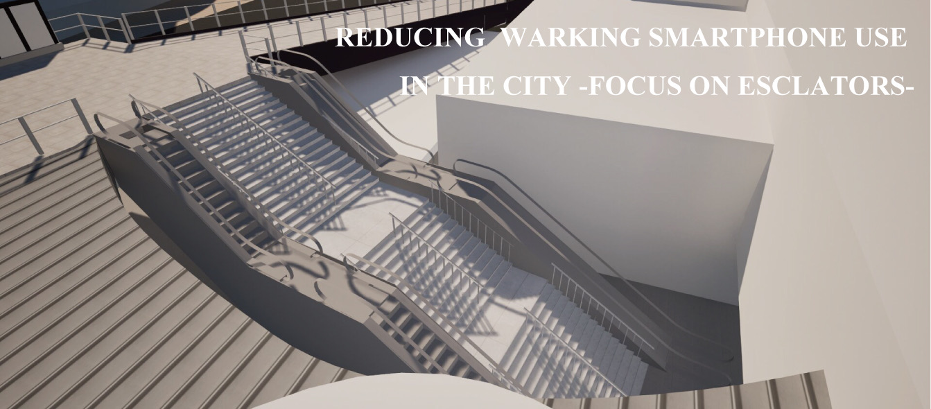
Visualization and Evaluation Method of Small-Scale Crowd Flow in Pedestrian Spaces

The Spatial Design Laboratory is conducting the following research in 2025.